Hiking

Looking Back In Time

For a few days now I’ve been looking through thousands of pictures to make sure that they’re synced from iCloud to the Photo app before they’re deleted. In so doing I noticed how far in front of a group I was hiking a few years ago. Instead of hiking with the group I was so far in front that I could get group shots without trying. Eventually, they did pose, as if it had been intentional rather than my walking habit.

From Grächen to Zermatt via the longest suspension bridge: part one

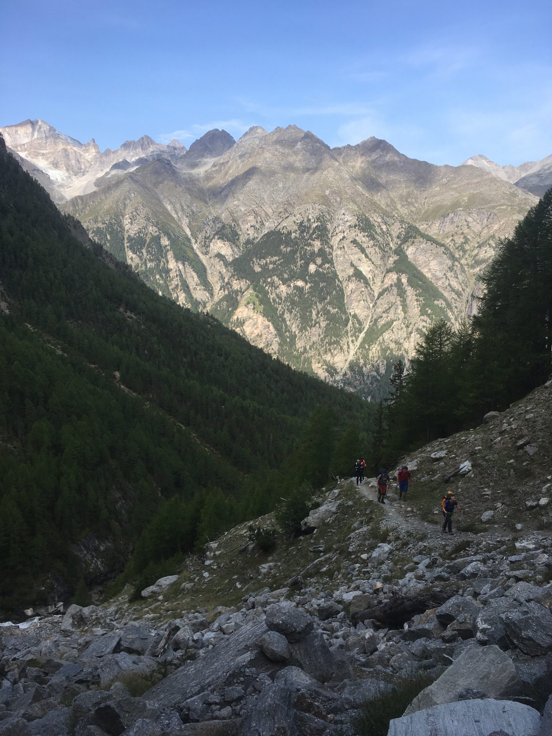
Hiking from Grächen to Zermatt via the longest Suspension bridge is an interesting two-day hike. It provides you with views of glaciers, boulder fields, scree slopes and more. It also provides you with the opportunity to cross a suspension bridge that takes six minutes.

Hiking up from Grächen

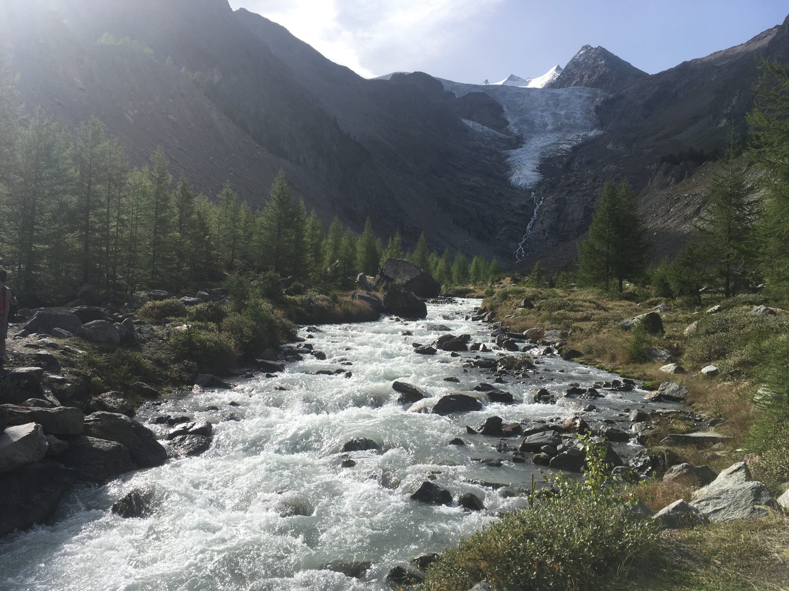
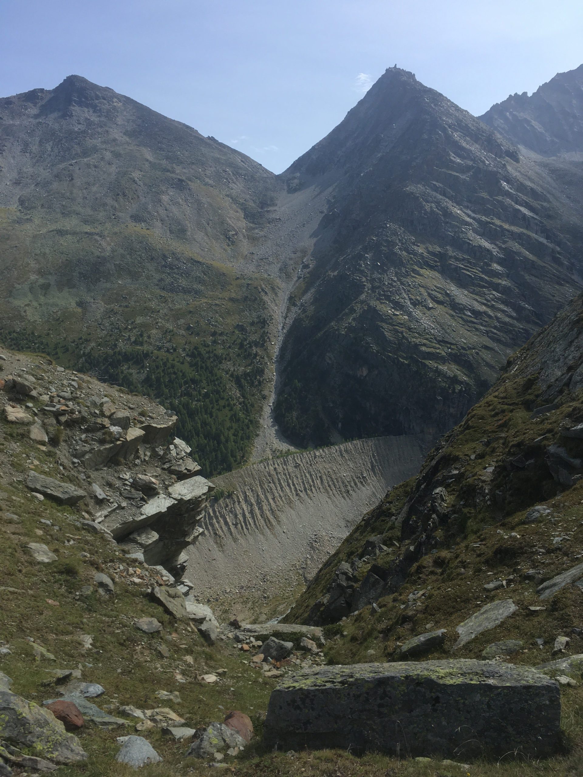
The hike up from Grächen takes you up through a forest. You go through a forest and there is a stream to your left and the nice landscape to your right. The hike up is easy. [caption id=“attachment_3736” align=“aligncenter” width=“768”] Path that leads up to a first view of a glacier[/caption] As I hike with a water filter I like to get water straight from glaciers when I can. I gathered water from the glacier. It tastes good and it’s fresh. Gathering water from this point is easy. [caption id=“attachment_3737” align=“aligncenter” width=“1024”] A nice Cirque[/caption] From this cirque you climb up through some more trees and eventually you get to a nice view point from which you can see the landscape. This provides a good point for a snack and rest. [vrview img=“https://www.main-vision.com/richard/blog/wp-content/uploads/2017/08/export_1503909534859.jpg” width=“500” height=“500” ] Use mouse to look around image above. (360 image) [caption id=“attachment_3738” align=“aligncenter” width=“768”] You can clearly see evidence of where the glacier was.[/caption] Many years ago the glacier reached down into the valley below. You can clearly see the depth of the former glacier. At this point you are above the tree line. You begin to walk on bare rock. The slopes get steeper and you are more exposed. [gallery ids=“3741,3740,3739”] One segment of this hike crosses a zone of active rock falls. When we were walking here we heard a loud noise that sounded like thunder or a jet. After a few seconds we saw large rocks falling down the slope and bouncing. Where they hit the ground clouds of dirt and dust erupted. It was too far away for me to get good video footage. At this moment we were more attentive. If you look up you see that massive rocks get loose and fall. Look at the contrast between the sign post and the boulders. You need to scramble and climb over rocks and navigate your way towards safety. [gallery ids=“3742,3743”]

Caught in a hailstorm 200 meters from the peak

A few days ago a group of us were caught in a hailstorm 200 metres from the peak. When we were approaching the summit we aimed to climb clouds came in and covered the peak and rain fell. At this moment we had doubts about going on. Half an hour later the clouds had gone, we could see the summit and so we started for the summit. As we climbed up the conditions were good. There was a strong wind As we got within two-three hundred metres from the top the wind picked up and we could hear lightning several seconds away. At this point, we slowed our climb. [gallery ids=“3725,3726,3728”] As I looked behind I could see the clouds coming in fast and as I looked the other way I could see the clouds come that way too. By this point the wind was strong and the sky became dark with the clouds we were in. It started to rain and then hail. At first, it was a few very small hailstones but within a minute or two they became large enough to become painful through a cap and a rain jacket hood. We sheltered against rocks to minimise what was exposed to the weather. The intensity of the hail increased and as I started to feel pain I hitched my hiking bag over my head, shielding as much as I could beneath it. As I did this I looked out and it looked like someone was throwing buckets of hailstones. I could feel my trousers getting drenched and my hands got very cold. The wind shifted and the hailstones started to pummel my back and I stayed sheltered. It was an uncomfortable situation to be in. Water was running from my trousers into my shoes and my feet were soaked. When the hail started to subside I stood up and we started to head down. I looked up. One person from the group was rushing down and I decided to descend as well for a bit. I couldn’t see the person who was leading the group so I decided to wait. The storm seemed to have passed and I chose to wait. When he came down I blew into my hands vigorously, warming them up again. Diving in cold lakes I grew used to having cold hands so I did what I always did. I warmed them up again. This was a mild cold. After some dives, I had such cold hands that they hurt so badly that I was close to tears. In this scenario, I was just uncomfortable. The surface was white with hailstones, as if it had just snowed. The leader did come down, smiling. By this point it was an adventure. The concern we had from being in such a situation became amusement at having experienced extreme weather. It’s the first time that we had been caught in a hail stone after years of hiking in the mountains. I almost always carry my rain equipment when I’m hiking for just such an occurrence but usually, it’s just weight that I carry in case it is required.
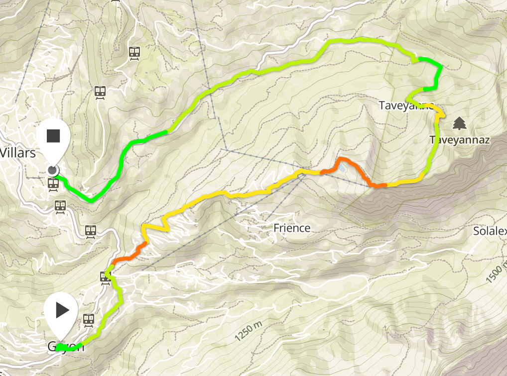
Day 1: Hiking from Gryon to Villars Sur Ollon.

First evening

This weekend I went on a two day hike. It was a combination of a Summit Foundation themed hike and a Wehike event. The hike was over two days and two nights. We arrived on Gryon on Friday night and stayed at the Chalet Martin. This is a nice relaxed backpacker hostel with a trampoline, bunkbed rooms, optional breakfast and more. It is located within easy walking distance of the train station and is easy to find. I slept well.

K2 With a Drone

K2 with a Drone is a documentary following Petr Jan Juracka, a scientific photographer’s trip to K2 with Klara Kolouchova with two drones. He performed extensive testing before setting off on the trip. He flew the drone in a hyperbaric chamber to see how it would react. He flew it in freezing conditions to check that the batteries would cope and then he flew in other places. He had already flown his drone in a multitude of countries and Pakistan was the latest challenge. We see the journey to base camp. We see images of the snow and ice, of rivers, of challenging roads and more. The documentary mixes fixed camera footage and drone footage in a pleasant to watch manner.

Visiting the Creux de Van and spending time with Bouquetins.

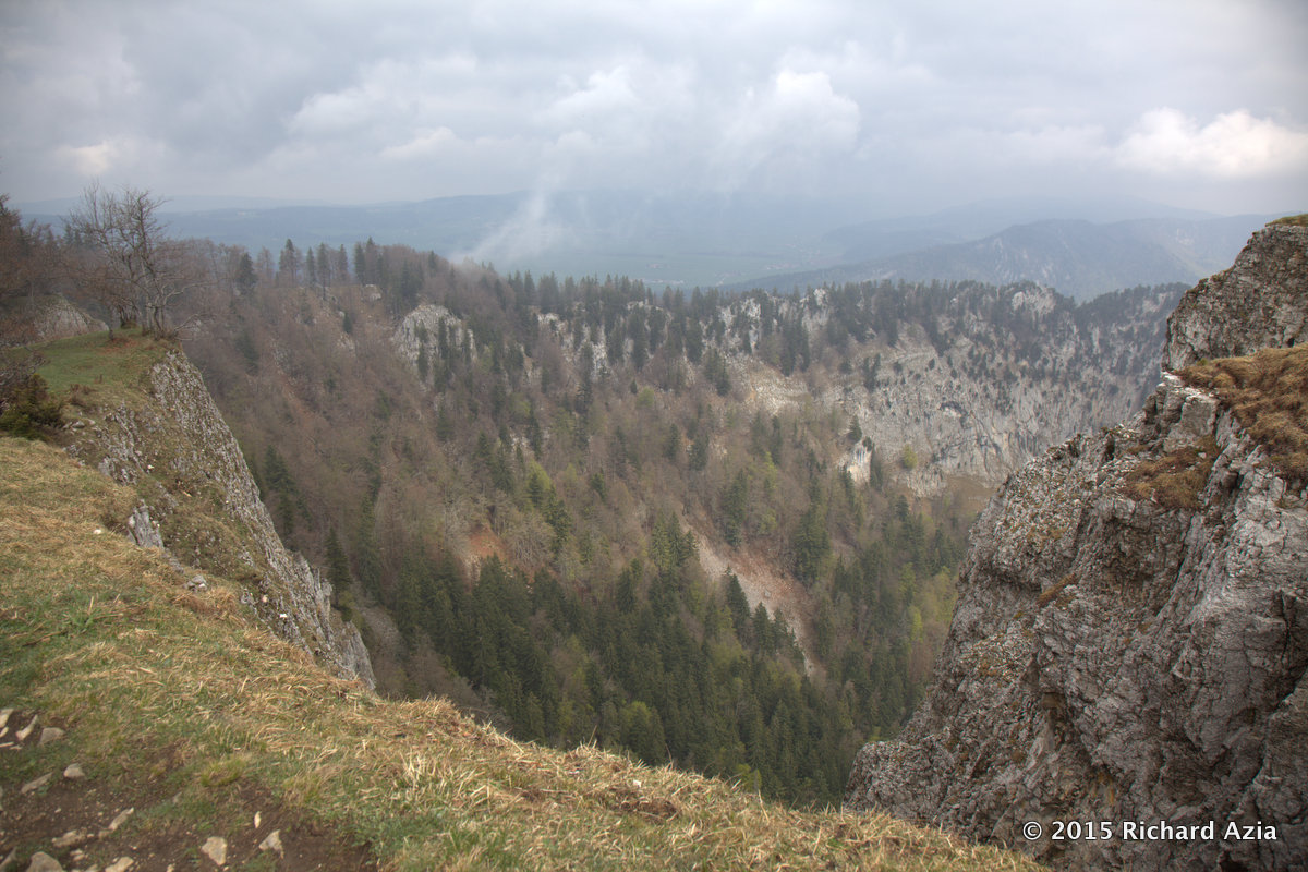
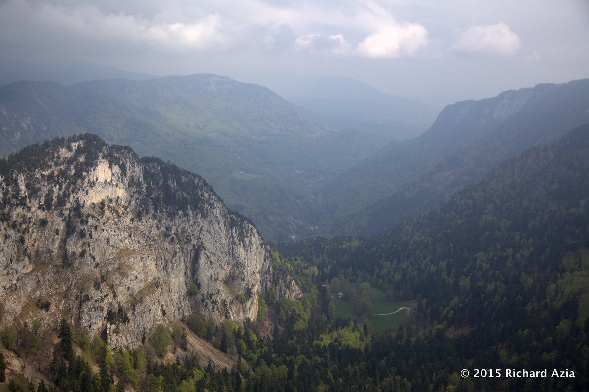
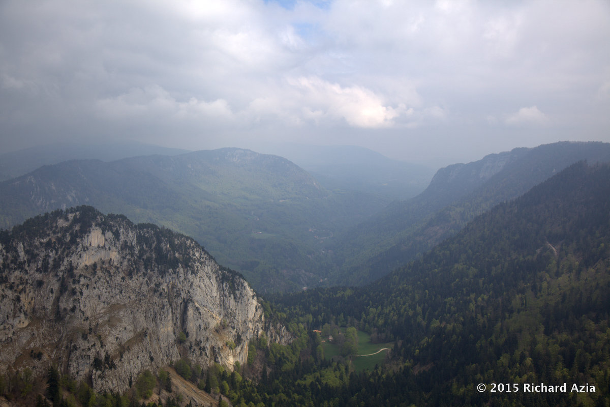
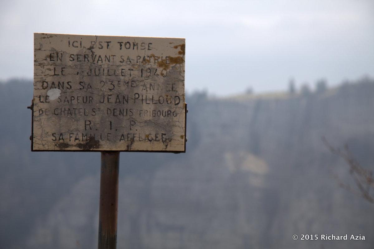
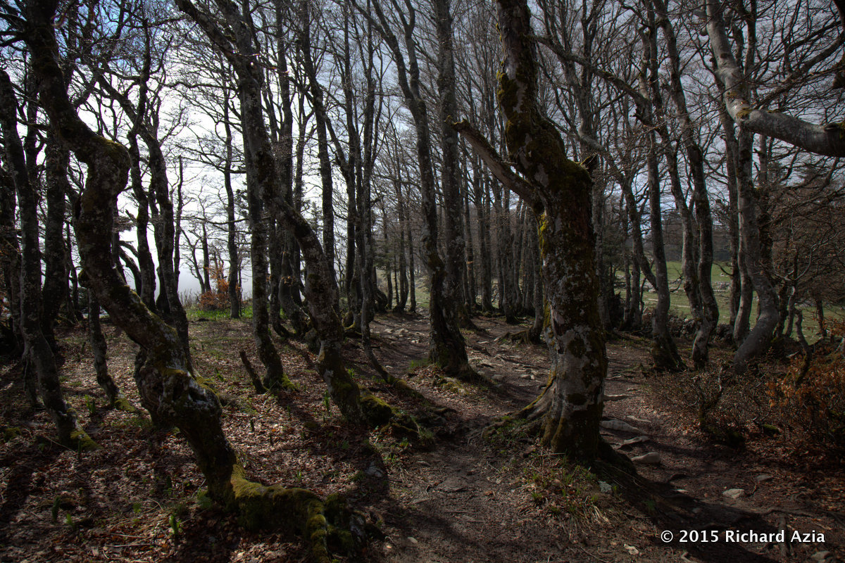
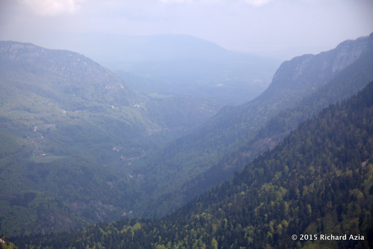
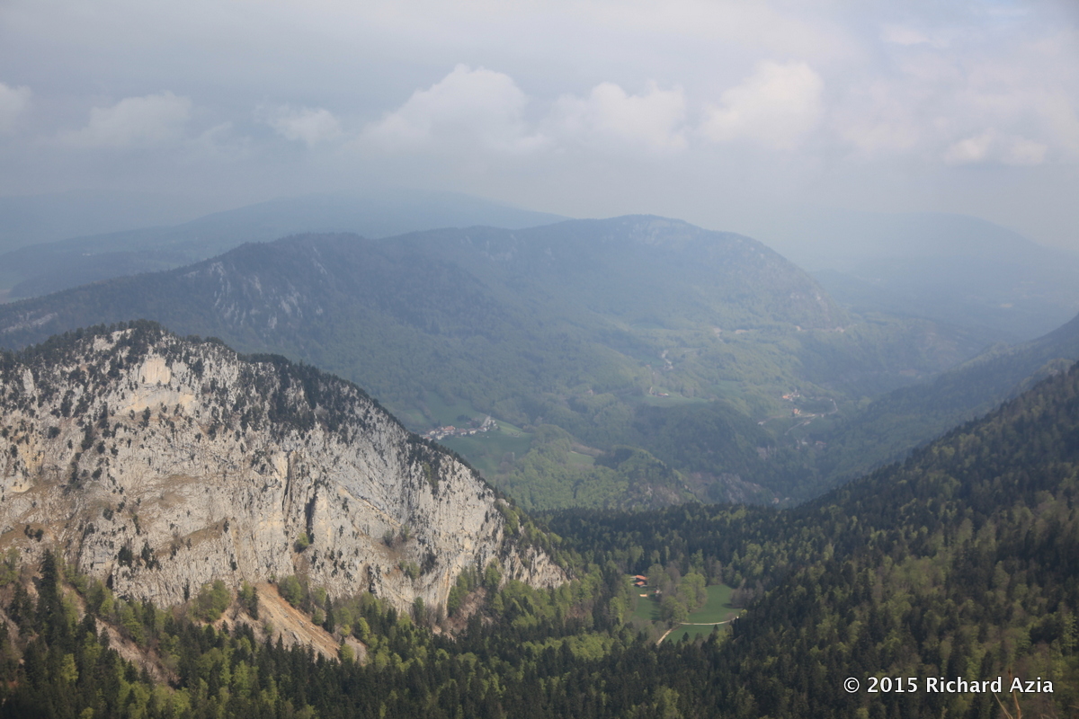
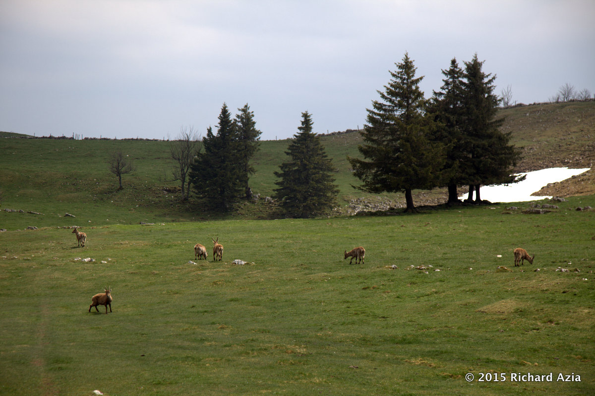
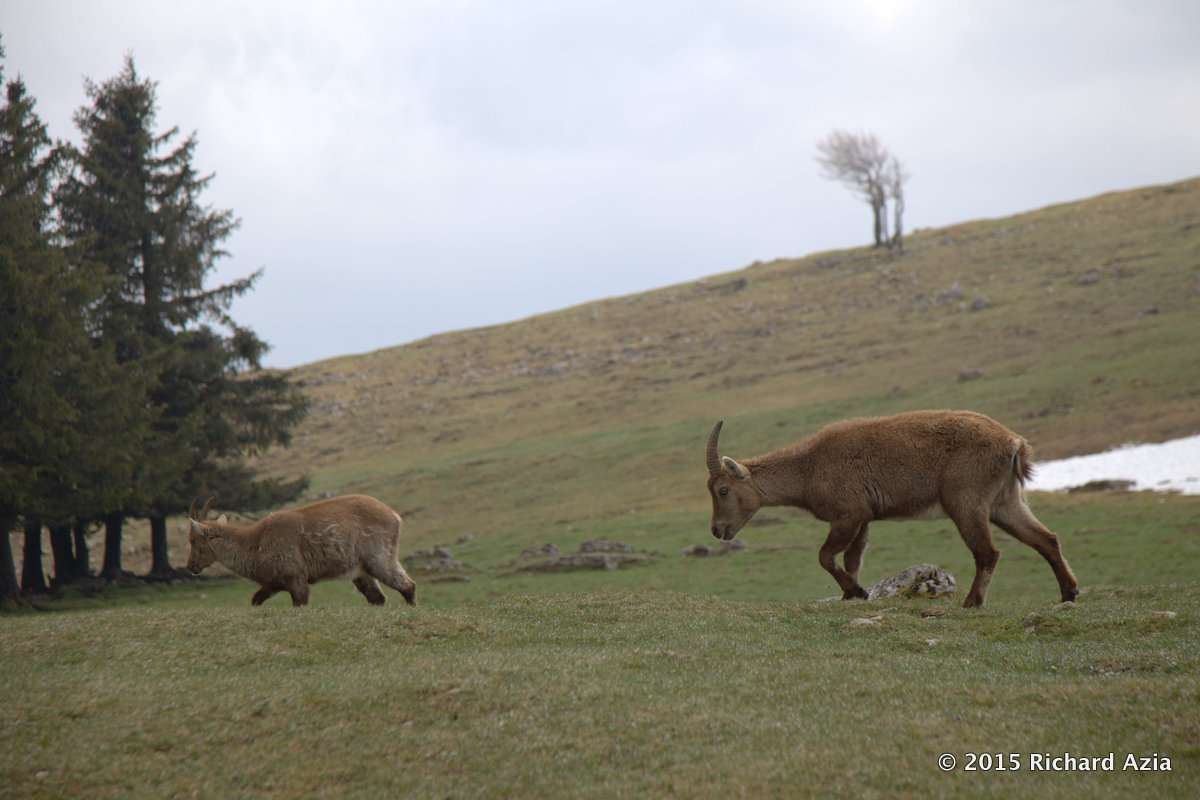
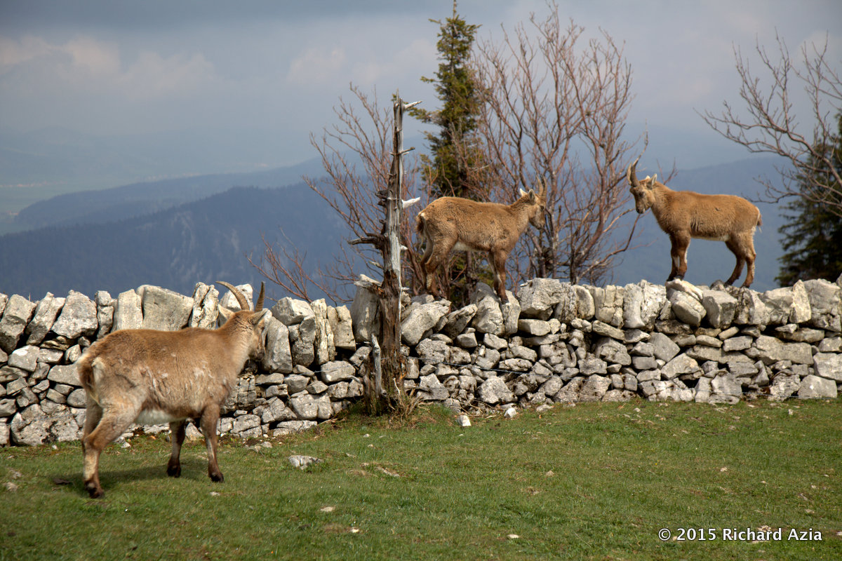
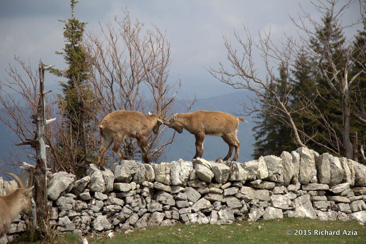
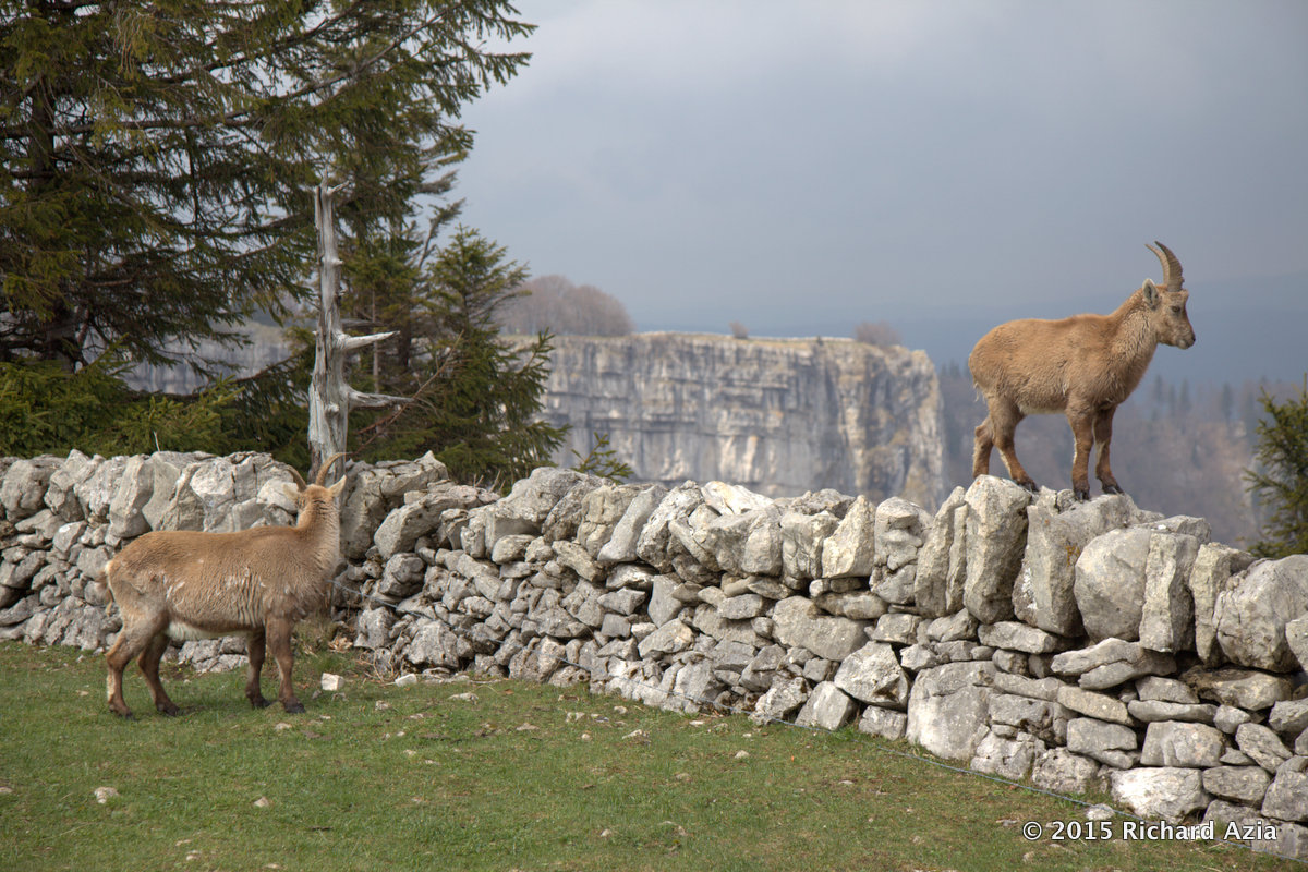
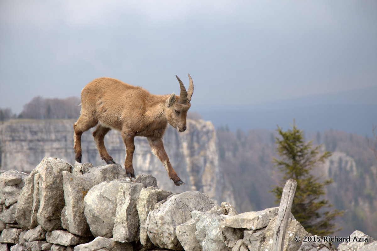
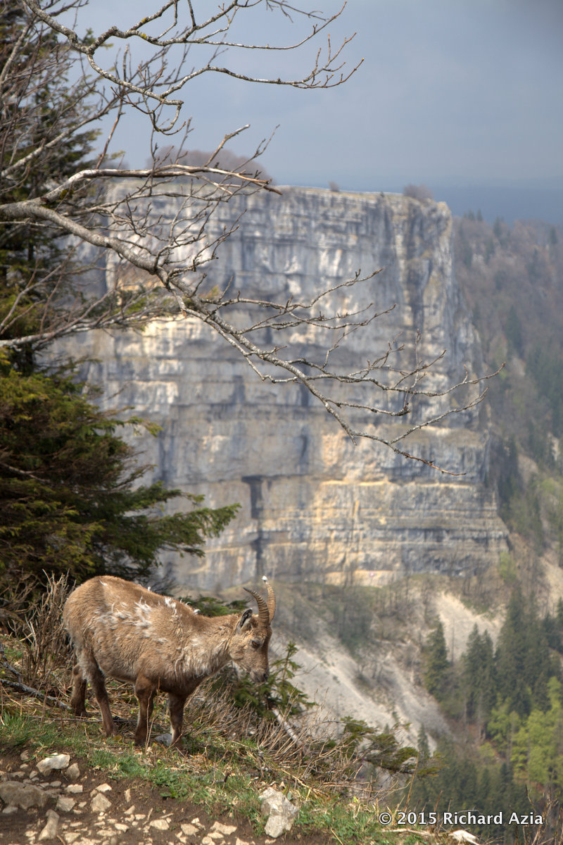
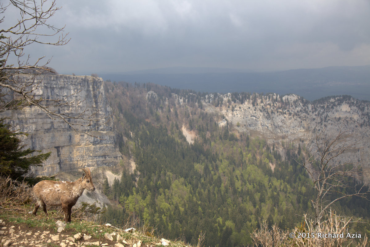
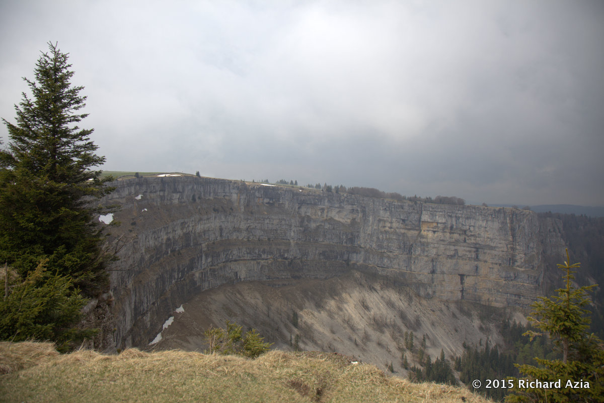
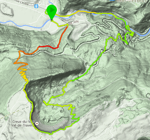
Images I saw of the Creux de Van made me want to visit the location in person. Yesterday despite the mediocre weather I went there. From Neuchatel you drive towards Noiraigue. Free parking is available. For the first hour you are walking up a steep winding path. A few trees have fallen, stones and mud are also present until you reach the top of the cliff. From there you see a glimpse of the cliff and views to come. As I stood there I saw a solitary Bouquetin on the rocks. From there I went right and walked along the cliff. On one side I had green grass and a farm and on the other side I had a steep cliff. I walked along and came to an outcrop. From here you could see the full cliff face. I walked around the arc until I came across a herd of Bouquetins. They were right in my path. I took several pictures before heading back down the other side. I came across a wooden hut and table where people can have a snack. As you walk through the woods you get towards the end of the Gorge De L’Areuse. It was full of water due to the recent rains. By this point I had already walked 10km so I continued back towards the car. [caption id=“attachment_2260” align=“aligncenter” width=“660”]This is the path you take to get up to the top of the Creux de Van This is the path you take to get up to the top of the Creux de Van[/caption] [caption id=“attachment_2259” align=“aligncenter” width=“660”]One of the first views as you emerge from the woods and see the landscape open up One of the first views as you emerge from the woods and see the landscape open up[/caption] [caption id=“attachment_2258” align=“aligncenter” width=“660”]A nice Valley A nice Valley[/caption] [caption id=“attachment_2257” align=“aligncenter” width=“660”]More landscape More landscape[/caption] [caption id=“attachment_2256” align=“aligncenter” width=“660”]Looking away from the cliffs you see the woods. Looking away from the cliffs you see the woods.[/caption] [caption id=“attachment_2255” align=“aligncenter” width=“660”]If you look down from this point you will see a long drop If you look down from this point you will see a long drop[/caption] [caption id=“attachment_2254” align=“aligncenter” width=“660”]I liked the quality of light here. I liked the quality of light here.[/caption] [caption id=“attachment_2253” align=“aligncenter” width=“660”]With Spring coming back all the trees are becoming green once again With Spring coming back all the trees are becoming green once again[/caption] Another view of the valley [caption id=“attachment_2251” align=“aligncenter” width=“660”]A herd of Bouquetins were playing A herd of Bouquetins were playing[/caption] [caption id=“attachment_2250” align=“aligncenter” width=“660”]When I arrived they were standing by the grass and slowly made their way towards the cliff When I arrived they were standing by the grass and slowly made their way towards the cliff[/caption] [caption id=“attachment_2249” align=“aligncenter” width=“660”]Just like when we were children they are playing on the wall Just like when we were children they are playing on the wall[/caption] [caption id=“attachment_2248” align=“aligncenter” width=“660”]Just like when we were children they are playing on the wall Just like when we were children they are playing on the wall[/caption] IMG_7243 [caption id=“attachment_2246” align=“aligncenter” width=“660”]A bouquetin with the Creux de Van in the background A bouquetin with the Creux de Van in the background[/caption] [caption id=“attachment_2245” align=“aligncenter” width=“660”]A bouquetin with the Graux de Van in the background A bouquetin with the Graux de Van in the background[/caption] Woods, Bouquetin and cliff [caption id=“attachment_2243” align=“aligncenter” width=“660”]Nice Landscape and nice view Nice Landscape and nice view[/caption] [caption id=“attachment_2242” align=“aligncenter” width=“660”]The Creux De Van The Creux De Van[/caption] IMG_7298 [caption id=“attachment_2240” align=“aligncenter” width=“483”]This is a physical 14km walk . This is a physical 14km walk .[/caption]

The summer eccentricity.

There are four phones on my desk that are well adapted to tracking hikes. There is the nexus one, the e51, n95 and n97. The reason I mention this is battery life. In my experience if you go on a long hike at least one of the phones will die. You could buy an extra battery or two to make sure that this never happens but a more practical solution is to take all of your phones, install the tracking application on them and swap phone once the battery dies. Of course this would involve taking three chargers with you but at least this way you could track the hike in terms of chapters and somehow aggregate the data for a true hike map.